

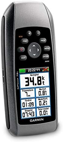
Garmin GPSMAP 78S Marine GPS Navigator and World Wide Chartplotter (010-00864-01)
$269.99
Price: $269.99
(as of Mar 23,2022 17:50:21 UTC – Details)

From the manufacturer
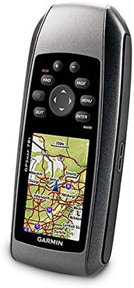
Garmin GPSMAP 78S Marine GPS Navigator and World Wide Chartplotter

For boaters and watersports enthusiasts who want to run with the best, the rugged GPSMAP 78s features a 3-axis compass, barometric altimeter, crisp color mapping, high-sensitivity receiver, new molded rubber side grips, plus a microSD card slot for loading additional maps. And it floats!
Explore
GPSMAP 78s comes with built-in worldwide basemap, so you can navigate anywhere with ease. And, like the rest of the 78-series, 78s is water resistant (IPX7) and even floats in water.
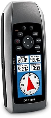
Get Your Bearings
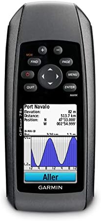
GPSMAP 78s has a built-in 3-axis tilt-compensated electronic compass, which shows your heading even when you’re standing still, without holding it level. Its barometric altimeter tracks changes in pressure to pinpoint your precise altitude, and you can even use it to plot barometric pressure over time, which can help you keep an eye on changing weather conditions.
Share Wirelessly
With GPSMAP 78s you can share your waypoints, tracks, routes and geocaches wirelessly other compatible device users. Now you can send the location of your favorite fishing spot to a friend to find. Sharing data is easy. Just press “send” to transfer your information to similar units.
Keep Your Fix
With its high-sensitivity, WAAS-enabled GPS receiver and HotFix satellite prediction, GPSMAP 78s locates your position quickly and precisely and maintains its GPS location even in heavy cover and deep canyons. The advantage is clear – whether you’re in deep woods or just near tall buildings and trees, you can count on GPSMAP 78s to help you find your way when you need it the most.
Add Maps
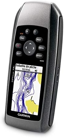
Adding more maps is easy with our wide array of detailed marine, topographic and road maps, available on microSD card. Conveniently plug in BlueChart g2 preloaded cards for a great day on the water or City Navigator NT map data for turn-by-turn routing on roads (see maps tab for compatible maps). The card slot is located inside the water resistant battery compartment, so you don’t have to worry about getting it wet. GPSMAP 78s also supports BirdsEye Satellite Imagery (subscription required), that lets you download satellite images to your device and integrate them with your maps. In addition, the 78s is compatible with Custom Maps, free software that transforms paper and electronic maps into downloadable maps for your device.
Worldwide shaded relief basemap; microSD card slot for optional mapping
3-Axis compass & barometric altimeter
Floats, buoyant
Built-in 3-axis electronic compass; Barometric altimeter
1.7MB built-in memory
Related Products


$269.99