
Rand McNally 2022 Large Scale Road Atlas
$9.86
Price: $9.86
(as of Mar 21,2022 16:21:58 UTC – Details)

From the Publisher
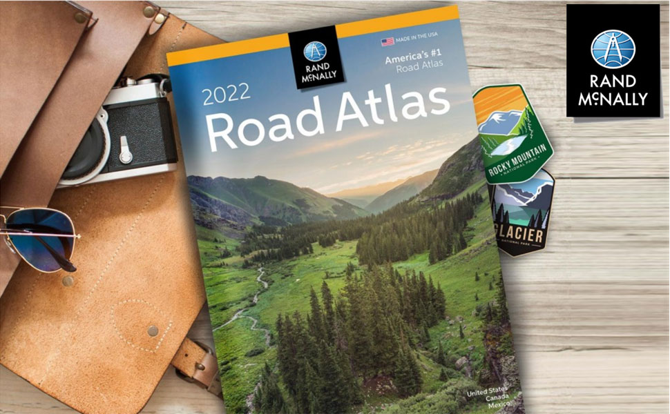
With the iconic Road Atlas leading the way, Rand McNally products have helped travelers make the most of their road trips for more than 100 years. The line of atlases, wall maps, travel guides, activity books, and other publications are developed to inspire an interest in the world and enrich life’s journey.

2022 Road Atlas Includes:
Colorful, easy to read maps
Shading highlights urban areas and parks and forests
Shields for roads like Historic Route 66
Interstate exit numbers, points-of-interest labels, and bingo keys
Metro area insets, regional mileage charts, and local info

Maps
Maps of every U.S. state
Detailed city and national park maps
Road construction and conditions contact info
Tourism websites and phone numbers
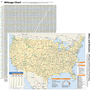
Mileage Chart & Driving Times
Mileage chart showing distances between 90 North American cities and national parks
Driving times map
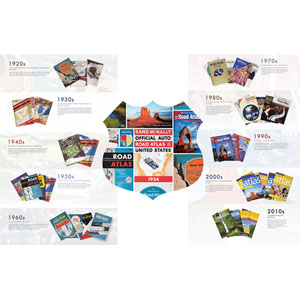
Rand McNally Road Atlas Retrospective
Take a look back, from the beginning, at some of the covers that helped define the times. Starting with the original 1924 atlas to the iconic Rand McNally Road Atlas of today, the covers have been a reflection of society and travel.
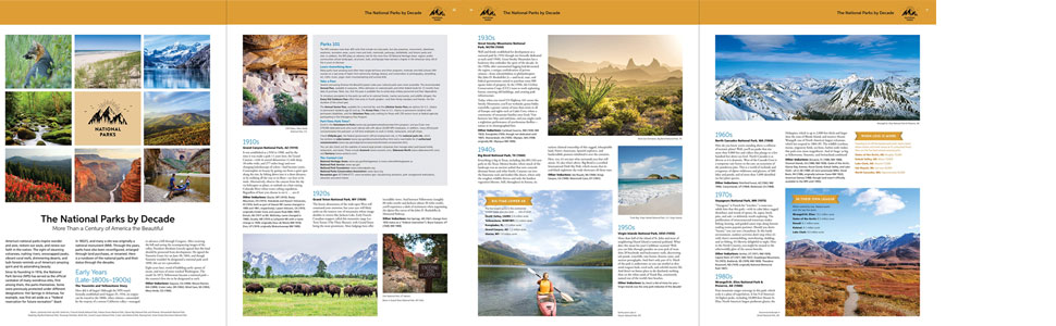
The National Parks by Decade
A review of park history that begins more than a century ago, with the first wild and wonderful place to achieve park status—Yellowstone.
Maps of every U.S. state including mileage chart and mileage map showing distances
✓
✓
✓
✓
✓
✓
National parks info and travel tips
✓
✓
✓
✓
✓
Road construction and conditions contact information
✓
✓
✓
✓
✓
Tourism contact information
✓
✓
✓
✓
✓
Index of cities and places
✓
✓
✓
✓
✓
Maps of all Canadian provinces and overview of Mexico
✓
✓
✓
✓
Number of detailed city and national park maps
375+
375+
350+
375+
50+
50+
Tough spiral binding allows easier viewing
✓
✓
✓
35% larger maps than standard versions
✓
✓
Description
Contains maps of every U.S. state and Canadian province, an overview map of Mexico, and detailed inset maps of over 350 cities and 20 U.S. national parks.
Durable see-through vinyl cover gives added protection against constant use.
Give road-weary eyes a break with this spiral-bound Large Scale edition featuring all the accuracy you’ve come to expect from Rand McNally, with 35% larger maps.
132-page National Park Guide, covering all 63 parks, is packed with hundreds of photos and essential visitor information. Includes a completely updated, 140-page Rand McNally Road Atlas.
This spiral-bound midsized atlas contains maps that are 35% larger than those in the regular Midsize Road Atlas.
Trusted, popular atlas in a convenient, 8″ X 10 3⁄4″ size.
Publisher : Rand McNally (April 19, 2021)
Language : English
Spiral-bound : 264 pages
ISBN-10 : 0528023780
ISBN-13 : 978-0528023781
Item Weight : 2.5 pounds
Dimensions : 10.88 x 0.5 x 15.37 inches
Related Products